Vernetti Trail

Pay attention to the KM 1.5

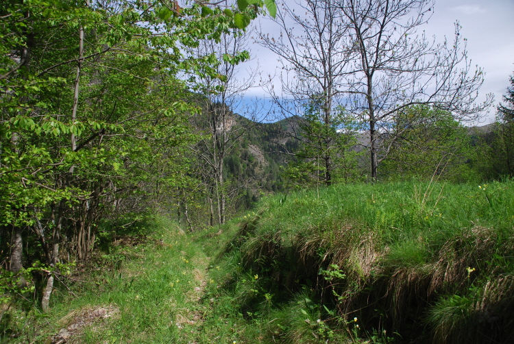
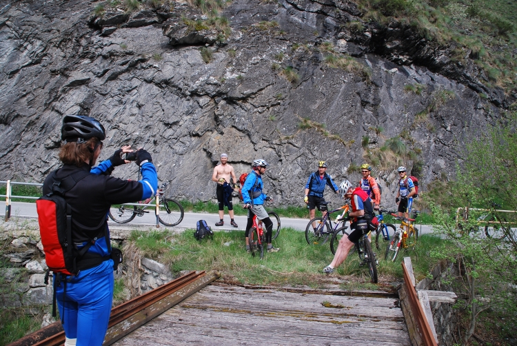
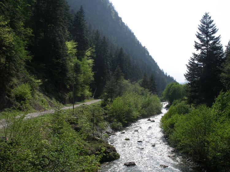
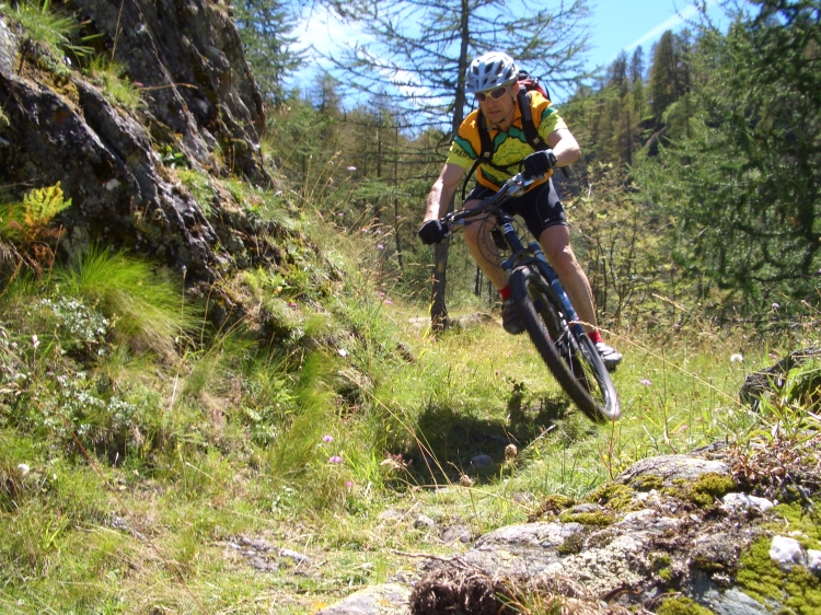
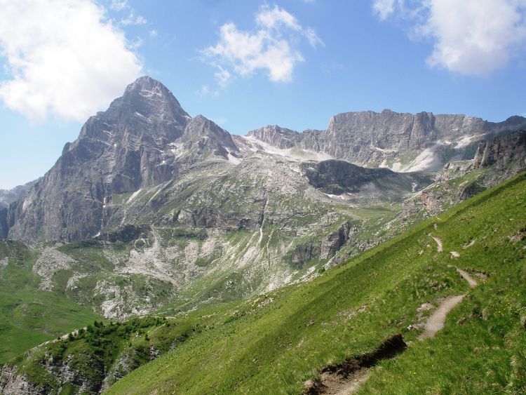
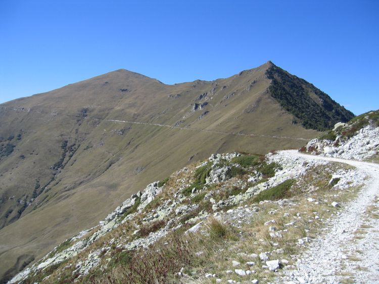
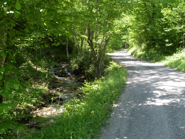
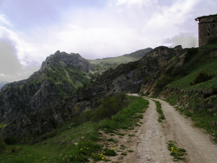
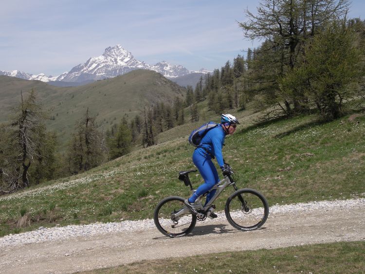
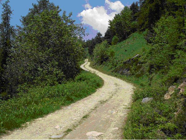
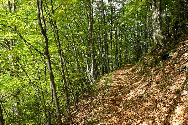
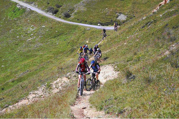
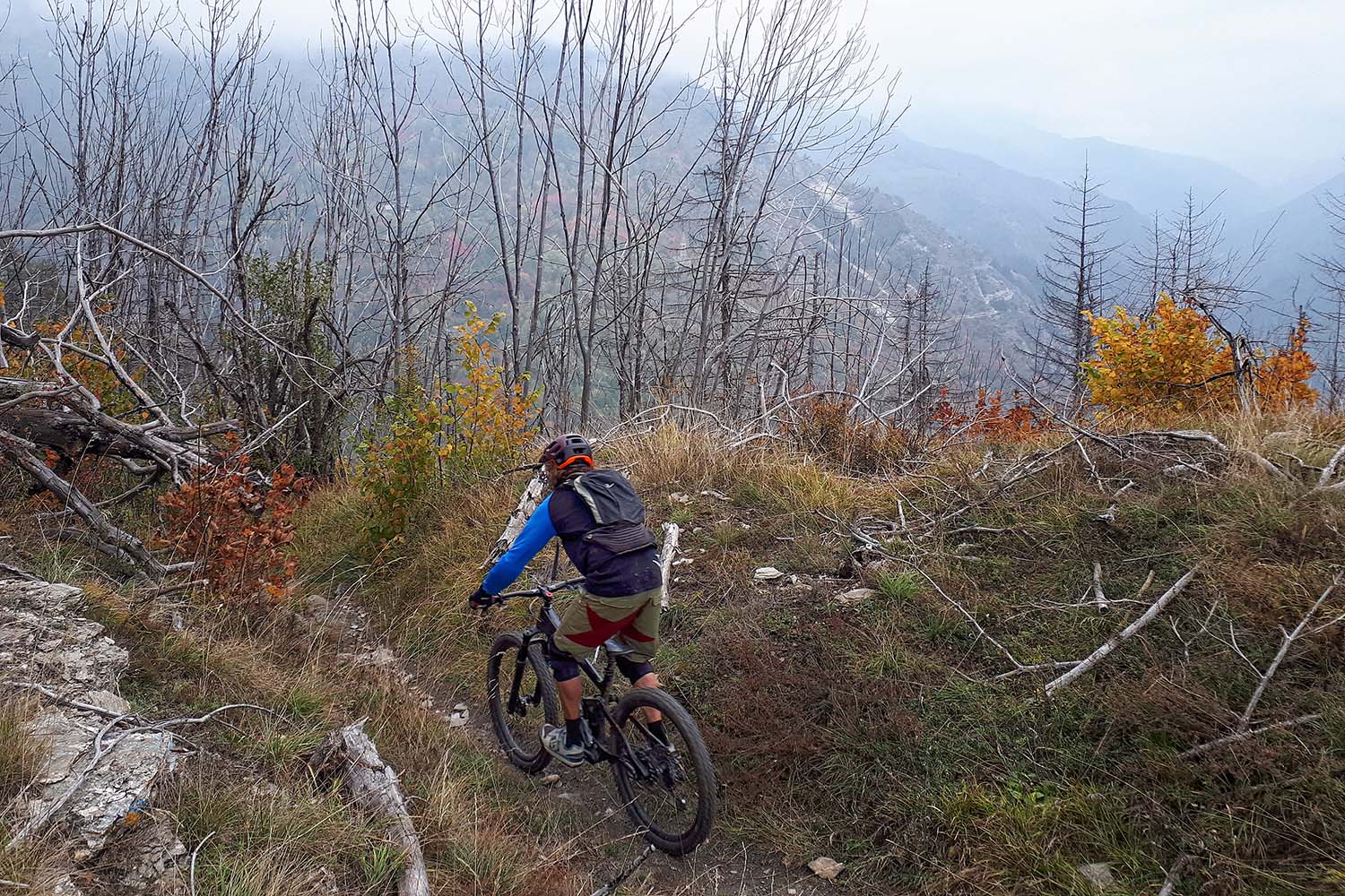
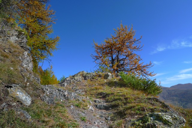
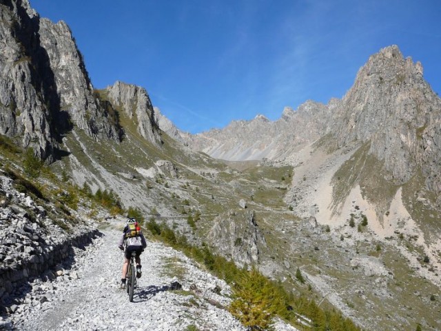
The Vernetti trail was opened in April 2007. It leads directly from the car park at Ceaglio down the right side of the valley toward Ponte Marmora. The ground cover is primarily forest floor. A few sections have harder stony surfaces. The diverse and technically demanding single-trails begin on a former mule path to two abandoned farmhouses in Grange Mezza Combe, which were worked summers until 1970. Next they lead to the connecting paths down to the wooden bridge of the former main road of Ponte Marmora-Vernetti, from which asphalt roads can be taken back to the starting point. Crossings over a rocky cliff and a brook cannot be ridden. There is work being done to improve the ridability of the stretch before the crossing. The Vernetti Trail follows the naturally path of the area on an ancient path. It is not an artificially made descent. The demanding, yet not extreme trail, is recommendable as a terrific trainings stretch to improve your riding technique. The trail is also an interesting alternative beginning for all the tours that originate from Vernett toward Ponte Marmora, so that you can avoid the less attractive main road in favour of two galleries. A section above Grange Mezza Combe, uphill to Vernetti, is only ridable for experienced bikers. Can be combined with other tours.


  • Starting point:

    Marmora-Vernetti(1223 m)

  • Altitude difference:

    215 m

  • Distance:

    5 km, Singletrail: 2,2 Km

  • Map:

    Valle Maira 1:25000, Escursionista, 2014, Rimini

  • Level of difficulty:

    medium difficult
MOUNTAIN BIKE TOURS

Tour 01
Tour 01 – Monte Bellino

Monte Bellino

Distance35 km
Altitude difference1500 m
Tour 02
Tour 02 – Colle Ciarbonet

Colle Ciarbonet

Distance29 km
Altitude difference1040 m
Tour 03
Tour 03 – La Gardetta

La Gardetta

Distance39 km
Altitude difference1040 m
Tour 04
Tour 04 – Monte Servagno

Monte Servagno

Distance28 km
Altitude difference1200 m
Tour 05
Tour 05 – Rocca la Meja

Rocca la Meja

Distance42 km
Altitude difference1500 m
Tour 06
Tour 06 – Colletto di Canosio

Colletto di Canosio

Distance18 km
Altitude difference750 m
Tour 07
Tour 07 – Strada Napoleonica

Strada Napoleonica

Distance26 km
Altitude difference1030 m(+250m Monte Buch-Variante)
Tour 08
Tour 08 – Monte Chersogno

Monte Chersogno

Distance52 km
Altitude difference1900 m
Tour 09
Tour 09 – Strada dei Cannoni

Strada dei Cannoni

Distance64 km
Altitude difference1700 m
Tour 10
Tour 10 – Mulino del Rio Albert

Mulino del Rio Albert

Distance38 km
Altitude difference1020 m
Tour 11
Tour 11 – Colletto Sarasin

Colletto Sarasin

Distance24 km
Altitude difference990 m
Tour 12
Tour 12 – Colle Intersile

Colle Intersile

Distance27 km
Altitude difference1300 m
Tour 13
Tour – 13 Roccabruna

Roccabruna

Distance43 km
Altitude difference1,160 m
Tour 14
Tour 14 – Lou Bial Intersili

Lou Bial Intersili

Distance39 km
Altitude difference1800 m
Tour 15
Tour 15 – Alp Oliveto

Alp Oliveto

Distance34 Km
Altitude difference1200 m
Tour 16
Tour 16 – Monte Tibert

Monte Tibert

Distance56 km(Variante Castelmagno: 64 km)
Altitude difference2050m(Variante Castelmagno: 2650 m )
Tour 17
Tour 17 –  Soleglio Bue

Soleglio Bue

Distance42 km
Altitude difference1450 m
Tour 18
Tour 18 – Elva

Elva

Distance47 km
Altitude difference1930 m
Tour 19
Tour 19 – San Michele

San Michele

Distance43 km
Altitude difference1990 m
Tour 20
Tour 20 – Monte Oronaye

Monte Oronaye

Distance36 km
Altitude difference1800 m
Tour
Vernetti Trail

Vernetti Trail

Distance5 km, Singletrail: 2,2 Km
Altitude difference215 m